


Boundaries of Manipur : Some observation
- Part 2 -
Dr. RK Ranjan Singh *
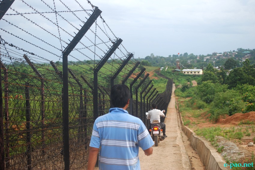
United Committee Manipur (UCM) inspection of India-Myanmar border area near Moreh :: August 8 - 10, 2013
After India-Burma boundary delimitation was done on maps, and actual physical delimitation took place along the border was conducted only on 5th April 1975. The then Indian official who represented on the spot, misinforming the PMO with the intension of swapping Molcham and surrounding villages, with areas of equal area elsewhere along he Indo-Burma border viz., areas at Choro and the paddy field to the east and adjoining the Moreh market, where the areas the Burmese would hand over Manipur in lieu of the Molcham and surrounding Villages.
Accordingly the Survey General of India issued maps with De-facto boundary line in the Molcham and surrounding villages. It is also fact that the Old BP No.33 stood to the east of the village Tuivang and thereby locating villages well within the Manipur Territory. It is also reported that in place of the old BP No.33 (displaced one) new BP No.66 was installed and put into missing BP so that the line between BP No 64 to 68 marked as De-facto boundary in the area.
Choro Khullen is on the slopes of the hill running parallel to the border line. Its off-shoot Choro Khunou is situated at the foot-hill beside BP No 6 (old) no new number is still replaced the old one. Except in the quarter inch map issued in 1976 Choro has been shown in Manipur. However, the metre scale map issued in 1973 show Choro on the Burmese territory.
Till to day Choro (Z Choro- Location Code No-485, 2011 Census) of the Kamjong-Chassad Sub-Davison of the Ukhrul District while Molcham (Location Code No 1006 of Census 2011) and group of villages in the Chakpikarong Sub-Division of the Chandel District of Manipur are revenue villages of the Government of Manipur.
Under what circumstances these villages currently administering by the state government is to be handed over to other country? The boundary line of the country in the location of these villages how could be De Facto boundary of India and Burma. The word De facto is appropriate at Akshai-Chin and elsewhere but not on this boundary line of Choro and Molcham areas.
Consequently the responsibility of boundary conflict in the Indo-Burma particularly in the Manipur sector should be the sole responsibility of the Survey General of India. It is also fact that the villagers of Molcham are all Indians their Chief is receiving a freedom fighter's pension.
Similarly villagers of Choro are good Indian (Manipur Cultural Integration Conference, Regional Integration Vol.-XII and XIII No.1 Summer May 1989/ Editorial Notes). These are all against the principles of a democratic country, India.
Molcham Area
Choro Khunou
Yangoupokpi Lokchao Wildlife Sanctuary
As the demarcation in the tri junction of India, Burma and China towards the end of McMohan line at Diphir near Rima is still unsettled, the bilateral demarcation of border between India and Burma should be considered null and void. Moreover, the bilateral demarcation of boundary between India and Burma, especially along the Manipur sector failed to ensure participation of affected communities of Manipur.
Even the new demarcation line contradicts and altered the earlier traditional boundary lines of Manipur and Burma and omits the existing boundary pillars. This has led to arbitrary transfer of Manipur's ancestral land to Burma without the knowledge and consent of the people of Manipur. The current boundary should be settled by consulting appropriate international institutions and if necessary, through the international court of justice.
Problems of Border Fencing:
The over responsibility of a paramilitary group in an international matter and the exclusive and arbitrary nature of Assam Rifles' role and involvement in Border fencing renders the existence of the Government of Manipur a complete mockery and disrespect to the people of Manipur.
The application by the Assam Rifles for diversion of forest area of Yaingangpokpi Lokchao Wild life Sanctuary to the Ministry of Environment and Forest for border fencing further undermines the role and responsibility of the Government of Manipur to maintain and to protect its territorial integrity. This again is a clear insult to the people of Manipur. The act of the Assam Rifles painting boundary pillars with AR logo and templates is again a sheer act of irresponsibility.
The forest clearance accorded by the MoEF for diversion of the wildlife sanctuary without organizing a single public hearing is again a violation of international human rights laws, primarily the need to take the free, prior and informed consent of communities before any processes affecting their land as stipulated under the UN Declaration on the Rights of Indigenous Peoples 2007.
The previous treaties and boundary agreements insists on setting boundaries in the foothills of the western Kabaw valley. However, the Assam Rifles and BRO's border fencing in straight lines including at the top of hill range is again a clear violation of existing treaties.
to be continued...
* Dr. RK Ranjan Singh wrote this article for The Sangai Express
The writer is Senior visiting fellow, Geography department, MU
This article was posted on September 09, 2013.
* Comments posted by users in this discussion thread and other parts of this site are opinions of the individuals posting them (whose user ID is displayed alongside) and not the views of e-pao.net. We strongly recommend that users exercise responsibility, sensitivity and caution over language while writing your opinions which will be seen and read by other users. Please read a complete Guideline on using comments on this website.


